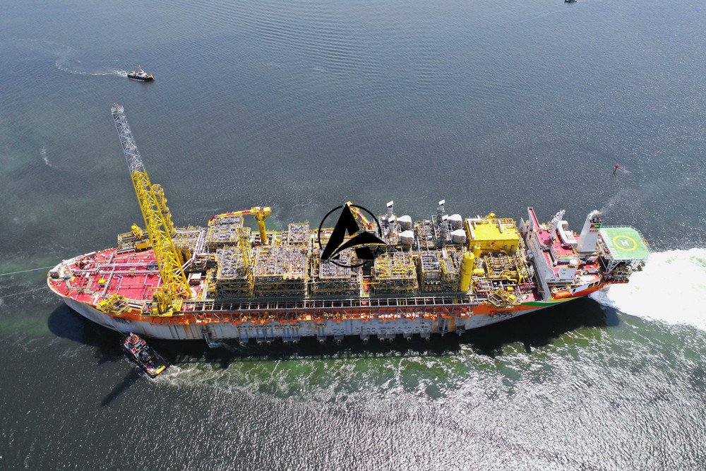
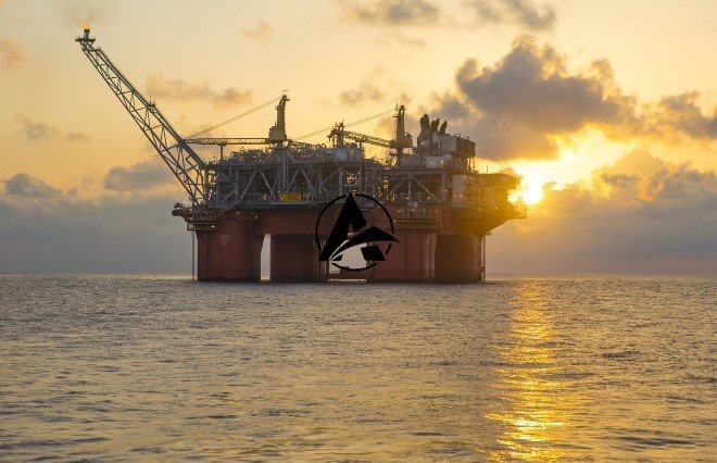
Guyana is advancing a substantial 25,000-square-kilometer multi-client seismic survey offshore. This significant initiative, located in the Guyana basin, aims to enhance subsurface data. It will consequently reduce risks associated with future exploration activities and facilitate upcoming licensing rounds in the region. Viridien supports this extensive project.
Enhancing Subsurface Understanding
The 25,000-square-kilometer multi-client survey represents a major effort. It specifically targets the improvement of geological data beneath the seabed. Better subsurface imaging helps identify potential hydrocarbon reservoirs more accurately. This detailed information is crucial for informed decision-making.
Mitigating Exploration Risks
Improved subsurface data directly contributes to de-risking exploration. Companies can make more precise drilling decisions with clearer geological insights. This reduces the financial and operational uncertainties inherent in offshore exploration. Lower risk profiles often attract greater investment.
Supporting Future Licensing Rounds
The seismic survey also serves a strategic purpose for future licensing. High-quality data packages attract a wider range of international companies. Prospective bidders gain confidence from comprehensive geological assessments. This ultimately supports more competitive and successful licensing rounds for Guyana.
Viridien’s Contribution
Viridien provides crucial support for the execution of this multi-client seismic survey. Their involvement ensures specialized technical expertise and resources. This collaboration helps Guyana achieve its ambitious exploration data goals effectively.


Leave a Comment